
Waterbury Block Records at a Glance
No official source is a complete neighbor list. Waterbury GIS identifies parcels and assessor labels. eQuality adds searchable property-card fields. City maps add voting, public works, refuse, recycling, flood, zoning, and historic layers. The city's association inventory gives public civic contacts, not resident rosters. Together, these sources describe a block while keeping their limits visible.
| Official Source | Block Detail It Provides | How to Reach It |
|---|---|---|
| Waterbury GIS | Parcel location, MBL, owner label, map and permit links | Free city viewer by house, street, owner, or MBL |
| eQuality cards | Property use, owner label, lot facts, sales fields | Free search; one main category works best |
| Citywide GIS maps | Voting and service districts, routes, land use, flood and zoning layers | Dated static maps and live GIS links |
| Neighborhood associations | Public leaders, meeting details, contact route, and dues where listed | Current city association page |
| Voter administration | An individual's own status and a regulated centralized file | State lookup or formal file request under state rules |
Use the parcel systems for land, association pages for civic contact, and election sources only within their stated rules. The differences matter when trying to learn who your Waterbury neighbors are.
Map Waterbury Neighbors Parcel by Parcel
The Waterbury GIS portal exposes Owner Name, House No, Street, and Map-Block-Lot fields. Search the starting address, save its MBL and unique identifier, and open the property maps. The sample result connects assessor, building, value, sales, permit, map, and eQuality paths. The city says data updates nightly and remains informational.
- Confirm the starting house number and street in GIS. Save the MBL.
- Open its parcel map and identify only the lots that touch or face the starting parcel.
- Open each nearby parcel separately. Record address, MBL, assessor name, property use, and access date.
- Check the eQuality card for the same MBL. Do not turn its mailing label into an occupancy claim.
- Use the city map layers to add district or service context, not personal facts.
This tight radius keeps the task distinct from a whole-road survey. For every parcel along a named road, use the Waterbury streets page.
Waterbury Owners Are Not Occupants
GIS and eQuality are parcel tools. Their names can belong to an individual, business, trust, public body, or another titled party. A matching mailing and site address may support an owner-occupancy hypothesis, but the research did not identify a public homestead flag that proves a person lives there. Renters and other household members may not appear at all.
Assessment figures also need care. Waterbury uses a 70 percent assessment ratio based on estimated market value. That figure is not a sale price, deed consideration, or proof that a named person is present. If ownership itself matters, follow the Town Clerk's deed index and seek an official copy.
Note: Label each Waterbury neighbor result as parcel owner, public civic contact, historical listing, or unverified lead rather than simply “resident.”
Meet Waterbury's Neighborhood Groups
The city's neighborhood association inventory is the most direct civic route. It may provide a president, public email or phone, meeting time and place, and dues. It is an organizing directory, not a list of households. Contact a group through the details it chose to publish.
Citywide and North
Waterbury Neighborhood Council, Bouley Manor, Bunker Hill, and Bucks Hill Community Club.
East and Central
East End Community Club, East Mountain, Gilmartin, Historical Hillside, and Historic Overlook.
South and West
Brooklyn, Hopeville, South End, Walnut-Orange/Walsh, and Town Plot.
Waterville
Waterville appears as its own named association on the current city list.
The public page currently names 15 associations. Details vary by group, and an omitted block is not proof that no informal group exists.
Why Waterbury Group Counts Differ
A useful local comparison sits inside the official record. The current city page lists 15 named groups, while the Police Department's 2022–23 annual report referred to 21 associations including the Neighborhood Council. The totals can differ because of date, activity, and the way smaller groups are counted.
Do not call either number timeless or complete. Cite the source and year. If the goal is a meeting today, the current city listing controls. If the goal is neighborhood history, compare that list with the older planning record and annual report.
This is also a reminder that a civic boundary is not a parcel line. Two nearby Waterbury neighbors may use different group names or no association at all.
Planning Names Shape Waterbury Neighborhoods
Older planning materials refer to Hillside, Brooklyn, St. Margaret/Willow Plaza, Walnut-Orange/Walsh, and West Main/Willow. The city adopted its new 2026–2036 Plan of Conservation and Development on April 27, 2026. A current plan can supply neighborhood names, land-use categories, maps, and public-participation records, but it is not a household index.
The adopted planning source shows where current neighborhood context is kept.
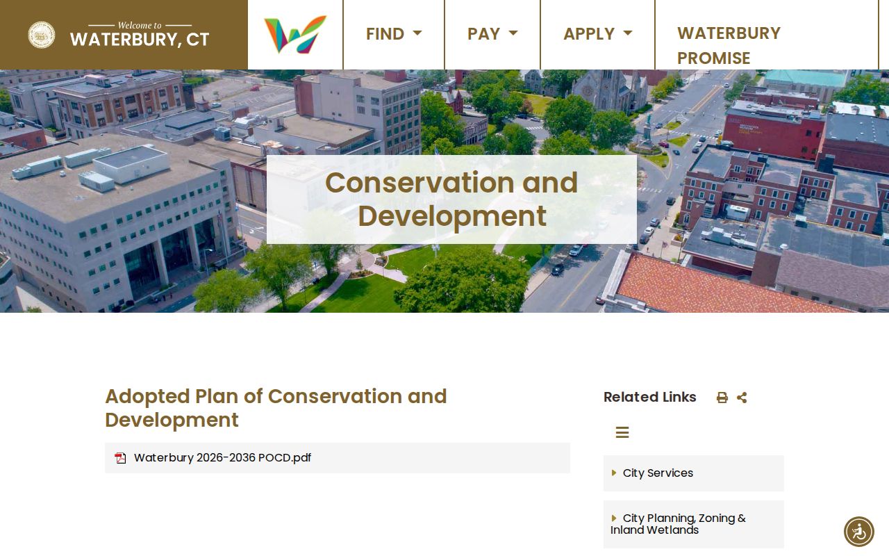
The plan page dates the policy layer. Compare it with the current association list and parcel map instead of assuming one boundary system governs all three.
Brooklyn, Hillside, and WOW persist across sources, while other labels shift or change scope. That makes neighborhood vocabulary a history clue, not a fixed test of identity.
A Waterbury Neighborhood Is Not a ZIP
Waterbury uses several overlapping geographies. A postal ZIP routes mail. An assessor map groups parcels. Voting and public works districts organize public functions. Refuse and recycling maps show service routes. Association names reflect civic organization. None should be substituted for another.
| Layer | Main Purpose | Safe Block Use |
|---|---|---|
| Parcel map | Land identification | Find adjoining or facing lots |
| ZIP assignment | Mail routing | Validate a current mailing city and code |
| Voting district | Election administration | Identify district context, not party choice |
| Service route | Public works scheduling | Check dated refuse or recycling geography |
| Association area | Civic organizing | Find a public contact or meeting |
The older NABES map combines neighborhood labels, ZIP information, and a street grid. Use its date and treat it as a discovery aid. USPS and current GIS or Engineering sources control present address validation.
Waterbury Voter Data Has Boundaries
The Connecticut voter information page leads an individual to the official status lookup. The centralized file is a separate regulated product. Research states that month and day of birth are not public, the full CSV costs $300, and use restrictions apply. It should not be treated as a casual block directory.
Connecticut also maintains a voter privacy route. A protected voter can have a name and address suppressed from the public list. The Address Confidentiality Program provides a substitute mailing address and mail forwarding to qualifying people through an approved application assistant. An absent result may reflect protection, ineligibility, a changed record, or search error.
For questions about a voting district rather than a person, use Waterbury's dated district map or contact the Registrars. This answers a civic geography question without compiling nearby voters.
Official Waterbury Rolls Versus Search Tools
Official records have narrower purposes and clearer keepers than commercial neighbor tools. A city parcel card can be dated and checked with the Assessor. A deed can be ordered from the Town Clerk. An association contact can be checked on the city's own page. Commercial products may merge old addresses, similar names, phone data, and copied listings without showing when each field changed.
| Question | Official Waterbury Route | Commercial Category Risk |
|---|---|---|
| Who owns this parcel? | GIS, eQuality, then Town Clerk deed | Stale or merged owner labels |
| Which group serves the area? | City association inventory | Old or invented boundary labels |
| Which civic district applies? | Dated city GIS map | Unclear source date |
| Who is physically present? | No complete public official roster | Unsupported identity inference |
Use the source closest to the question. Never fill an official gap by treating a compiled profile as fact.
Recent Waterbury Corridors Leave Records
Large projects create block context through public notices, Engineering files, utility GIS, permits, and plans. A January 2026 city update described completion of a nearly two-mile, 42-inch transmission-main slip-lining project that began in March 2025 and ran from Fulton Park toward Thomaston. A September 2025 notice covered repairs to a 30-inch main on Huntingdon Avenue.
These records describe a corridor and a date, not the people near it. Pair a notice with the Engineering route, parcel map, street-opening permits, and adopted plan when researching why a block changed. Current work can affect access or the street scene without changing a legal parcel boundary.
Protect Privacy in Waterbury Neighbor Lookups
Public sources omit or restrict much of daily life. Parcel records do not list every occupant. Utility and delivery data are not resident rolls. DMV address histories are protected. Vital records use eligibility rules. Court and probate portals can omit confidential documents. The safest answer names the source and admits what it cannot show.
Population context also stays separate from identity. Census QuickFacts estimates 115,771 Waterbury residents in 2025, after a 2020 count of 114,403 across 28.52 square miles. Those figures describe city scale. They cannot identify a person or assign traits to a block.
Lawful use. Look up Waterbury neighbors for civic contact, property curiosity, reconnection, or personal safety. Never watch, intimidate, repeatedly contact, harass, or harm anyone.